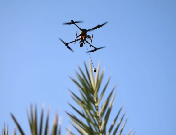
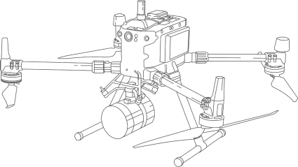
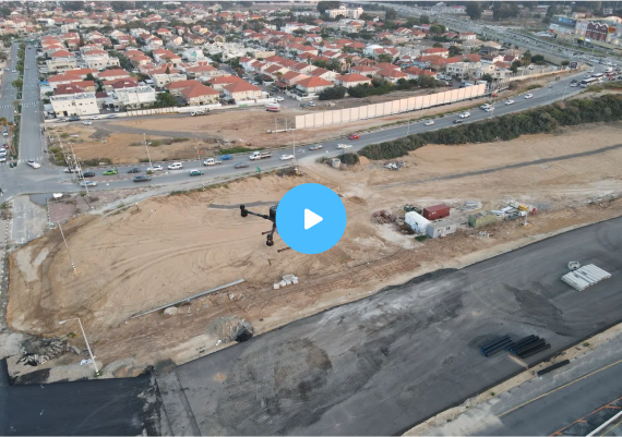
ERELIS is a certified CAA/EASA aerial operator company, specializing in autonomous data acquisition for GIS, mapping, and geodetic survey by utilizing advanced technologies such as LIDAR, remote sensing NIR & IR, and aerial mapping.
Our expertise lies in providing cutting-edge services in three main areas of interest: geodesy, industrial inspection, and the agriculture sector, including complex monitoring and research solutions, as well as marine/bathymetric solutions for data surveys.
At ERELIS, we are committed to maintaining the highest standards of customer service, and we achieve this by constantly assessing and incorporating the latest technologies into our capabilities. Our client-focused approach ensures that our products and services are tailored to meet the specific needs of each of our customers.
We collaborate with authorized surveyors who verify and certify our geodetic data, ensuring high accuracy and reliability. This guarantees our clients receive trustworthy results for their projects, in line with professional standards.
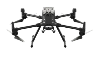
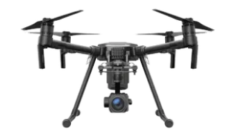
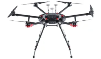
Our skilled UAV pilots have extensive experience in geodetic surveys and inspections and are well-versed in aviation regulations, including air traffic rules, airspace restrictions, and safety procedures. With in-depth knowledge of advanced equipment and technologies, our pilots ensure the safe and efficient execution of aerial tasks with professionalism and expertise.
Certified geodetic precision
We collaborate with authorized surveyors who verify and certify our geodetic data, ensuring high accuracy and reliability. This guarantees our clients receive trustworthy results for their projects, in line with professional standards.
Our skilled UAV pilots have extensive experience in geodetic surveys and inspections and are well-versed in aviation regulations, including air traffic rules, airspace restrictions, and safety procedures. With in-depth knowledge of advanced equipment and technologies, our pilots ensure the safe and efficient execution of aerial tasks with professionalism and expertise.